Charlotte Braces for Rare Snowstorm & Dangerous Cold This Weekend
⚠️ Quick Weather Snapshot (Read This First)
Snow arrives: Late Friday night → Saturday night
Peak snowfall: Saturday morning to early afternoon
Expected snow totals (Charlotte): 3–6 inches
Higher totals: Along I-85 and east of I-77
Mountains: 4–8 inches, locally higher
Snow ends: By early Sunday morning
Bigger threat after snow: Extreme cold & black ice
Alerts active: Winter Storm Watch + Extreme Cold Watch
This could be Charlotte’s most impactful snow event since 2018.
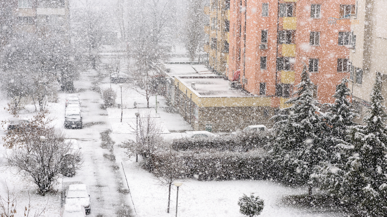
A Rare Winter Storm Is Headed for Charlotte
Charlotte and the surrounding Piedmont are preparing for a high-impact winter storm that will bring significant snowfall followed by dangerous cold.
Snow will first develop in the mountains on Friday afternoon, then spread into Charlotte late Friday night. By Saturday morning, snow will be widespread and steady, creating slick roads and hazardous travel.
By Sunday morning, snow will be gone — but the cold will not.
Snow Timing: What to Expect, Hour by Hour
Friday Night
Snow begins in the mountains
Light snow spreads into the Piedmont after midnight
Temperatures are already below freezing → snow sticks immediately
Saturday (Main Impact Day)
Steady snow from morning through early afternoon
Gusty winds up to 25–30 mph
Blowing snow reduces visibility
Travel conditions become dangerous quickly
Saturday Night
Snow tapers off west to east
Roads remain snow-covered
Refreeze overnight → black ice risk
Sunday & Beyond
Snow gone
Bitter cold lingers through early next week
Morning lows in the teens and single digits
How Much Snow Will Charlotte Get?
Charlotte metro: 3–6 inches
Heaviest bands: East of I-77, near I-85
Mountains: 4–8 inches, locally higher
Snow will be dry and fluffy, meaning:
It accumulates fast
Blows around easily
Creates drifting on roads
Even lower totals will still cause major travel problems due to cold pavement.
Why This Storm Is Different (And Dangerous)
This storm is rare for the Carolinas because everything is lining up perfectly.
Upper-Level System
A strong polar low is dropping south from the Mississippi Valley. This creates lift in the atmosphere, helping snow form efficiently.
Surface Coastal Low
A developing coastal low along the Carolina coast places Charlotte in the “sweet spot” — where cold air and moisture collide.
Atlantic Moisture
Moisture from the Atlantic fuels steady snowfall.
Cold Air Already Locked In
Temperatures are already below freezing, so snow sticks immediately — no melting.
➡️ Result: High snow-to-liquid ratios = fluffy snow + slick roads fast
What Could Change Snow Totals?
More Snow If
Snow bands stall over Charlotte
Upper-level system tracks perfectly
Mesolow moves just south of the metro
Less Snow If
Coastal low tracks too far offshore
Dry air sneaks between snow bands
Upper-level timing shifts slightly
👉 Even if totals drop, travel impacts remain serious.
The Bigger Threat: Extreme Cold After the Snow
Snow is only half the story.
Temperature Outlook
Saturday highs: Mid-20s (single digits in mountains)
Saturday night lows: Teens in Charlotte, below zero in the mountains
Wind chills:
Mountains: -10 to -22°F
Charlotte: 0 to -7°F
Sunday highs: Struggle to reach freezing
⚠️ Extreme Cold Watch is in effect for all locations
This cold is dangerous to people, pets, pipes, and property.
Travel Impacts You Need to Know
Snow sticks instantly to roads
Blowing snow reduces visibility
Saturday travel is strongly discouraged
Black ice likely Saturday night & Sunday morning
Gusty winds worsen conditions
If you don’t have to drive on Saturday, don’t.
How to Prepare (The 4 Ps + More)
People
Check on elderly neighbors
Ensure everyone has adequate heat
Pets
Bring all outdoor pets inside
These temperatures are life-threatening
Plants
Bring sensitive plants indoors
Wrap outdoor plants heavily
Pipes
Drip faucets
Open cabinet doors
Insulate outdoor spigots
Home & Power
Prepare for isolated power outages
Have a safe backup heat
Never use grills or generators indoors
Travel
Avoid travel on Saturday
Keep an emergency kit in the car:
Blankets
Water
Flashlight
Bottom Line for Charlotte
This is a rare, high-impact winter storm for the Charlotte region.
3–6 inches of snow
Dangerous travel
Extreme cold that lingers
Black ice risks for days
Snow totals may shift slightly, but impacts will be significant regardless.
👉 Stay weather-aware.
👉 Check updates through Friday and Saturday.
👉 Take the cold seriously.
Charlotte hasn’t seen a storm like this in years — now is the time to prepare.